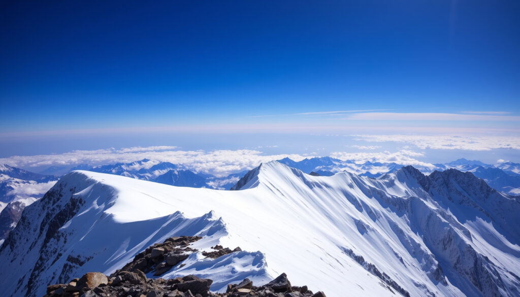
Mount Everest Peak – Height, Location, Deaths and Complete 2025 Guide
Rising high above the Himalayas, Mount Everest has long captivated explorers and scientists alike. As the highest point on Earth, its peak represents both a physical challenge and a benchmark for human achievement. This guide provides a comprehensive overview of the mountain, from its officially recognized height to the dangers that await climbers in the death zone.
The mountain, known as Sagarmatha in Nepal and Qomolangma in Tibet, sits on the border between Nepal and the Tibet Autonomous Region of China. Its peak, which reaches into the jet stream, endures some of the most extreme weather conditions on the planet. Understanding the facts about Mount Everest is essential for anyone planning a climb or simply seeking to learn more about this geological wonder.
How Tall is Mount Everest?
8,848.86 m (29,031.7 ft)
Official 2020 measurement
Nepal / Tibet (China)
Mahalangur Himal sub-range
May 29, 1953
Edmund Hillary & Tenzing Norgay
Over 330 (as of 2024)
Common cause: avalanches, falls, altitude sickness
Key Insights
- Mount Everest’s official height was revised in 2020 to 8,848.86m after a joint survey by Nepal and China, ending a long-standing dispute.
- Everest lies on the border of Nepal and Tibet (China), within the Sagarmatha National Park (Nepal) and Qomolangma National Nature Preserve (Tibet).
- The mountain grows about 4mm per year due to tectonic plate collision, though the 2015 earthquake temporarily reduced its height.
- Over 7,600 different people have summited Everest since 1953, but more than 330 have died on the mountain, with the majority of bodies left in place due to difficulty of recovery.
- The Death Zone (above 8,000m) is where most fatalities occur; climbers have only days of survival without supplemental oxygen.
| Fact | Value |
|---|---|
| Elevation (meters) | 8,848.86 m |
| Elevation (feet) | 29,031.7 ft |
| Elevation (kilometers) | 8.85 km |
| Elevation (miles) | 5.5 mi |
| Country | Nepal / China (Tibet) |
| Coordinates | 27°59′18″N 86°55′31″E |
| First ascent | May 29, 1953 (Hillary & Tenzing) |
| First solo ascent | 1980 (Reinhold Messner, without oxygen) |
| Total summiteers | ~7,600 people |
| Record year for summits | 2023 (over 600) |
| Total deaths | >330 (as of 2024) |
| Deadliest year | 2015 (avalanche caused by earthquake, 22 deaths) |
Where is Mount Everest Located?
Mount Everest is located in the Mahalangur Himal sub-range of the Himalayas. The summit lies exactly on the international border between Nepal and the Tibet Autonomous Region of China. On the Nepalese side, the mountain is part of Sagarmatha National Park in the Khumbu/Solukhumbu region. On the Tibetan side, it sits within the Qomolangma National Nature Preserve in Tingri County, Shigatse Prefecture.
Is Mount Everest in Nepal or China?
Both. The summit is the boundary line, so the mountain is geographically shared. The southern slope lies in Nepal, while the northern slope is in Tibet.
What are the coordinates of Mount Everest?
The peak is situated at approximately 27°59′18″N latitude and 86°55′31″E longitude.
In Nepal, the mountain is called Sagarmatha, meaning “forehead of the sky.” In Tibet, it is known as Qomolangma, meaning “holy mother.” The name “Everest” was given by British surveyors in the 19th century in honor of Sir George Everest.
What Are the Dangers and Deaths on Mount Everest?
Climbing Mount Everest is an inherently dangerous undertaking. The mountain poses numerous hazards, and the fatality rate is significant. While exact numbers are difficult to verify due to unreported incidents, especially on the Tibetan side, the Himalayan Database provides the most reliable tally, though it operates with a time lag. Avalanches, falls, and altitude sickness remain the primary causes of death.
What is the Death Zone?
The area above roughly 8,000 meters is called the “death zone.” At this altitude, oxygen levels are insufficient for long-term human survival. Even with supplemental oxygen, climbers must limit their time in this zone to avoid serious medical issues.
What causes deaths on Mount Everest?
Death on Everest can result from a range of causes including avalanches, falls, extreme cold, storms, and altitude sickness which can lead to brain swelling. The limited window of favorable weather and the high altitude mean that any mistake can be fatal.
Why are there bodies on Everest?
Recovering bodies from the upper slopes is an extremely difficult and dangerous task. Due to the extreme conditions, many bodies remain in place. This has led to a common but unverified estimate that over 300 bodies are still present on the mountain, though this figure is not officially confirmed.
More than 330 people are known to have died on Everest (as of 2024). However, this number is approximate. Sources like the Himalayan Database are considered authoritative but may not include all recent or unrecorded deaths.
What is the Weather and Climbing Season on Mount Everest?
The weather on Everest is extreme and highly unpredictable. The summit experiences hurricane-force winds and temperatures that can drop below -60°C. Forecasts are generally reliable only 2-3 days out, as wind speed and the position of the jet stream can change rapidly.
When is the best climbing season?
The primary climbing season is the spring pre-monsoon window (April–May). During this period, weather and wind conditions are usually more favorable, offering short windows of calm weather that allow for summit bids. A secondary, less popular season exists in September–October.
What is the temperature at the summit of Everest?
The summit temperature can vary dramatically. In the summer, it might reach -20°C, but in winter, it can plummet to -60°C. During the main climbing season in May, summit temperatures are often around -30°C to -40°C.
How high is Mount Everest Base Camp?
The standard Everest Base Camp on the Nepalese side sits at an elevation of 5,364 meters (17,598 feet). The trek to reach it from the town of Lukla typically takes 12–14 days round trip, serving as a major acclimatization stage for climbers.
Even with supplemental oxygen, climbers must spend as little time as possible in the death zone. High altitude sickness and brain swelling are among the major hazards. The decision to turn back is often the difference between life and death.
Everest History: A Timeline of Milestones
- 1856: The Great Trigonometrical Survey of India establishes Peak XV as the highest peak, with a height of 29,002 ft.
- 1921–1938: Multiple British reconnaissance and climbing attempts take place. George Mallory and Andrew Irvine disappear near the summit in 1924.
- 1953: First successful ascent by Edmund Hillary of New Zealand and Tenzing Norgay, a Sherpa of Nepal, on May 29.
- 1975: Junko Tabei of Japan becomes the first woman to summit Everest.
- 1980: Reinhold Messner makes the first solo ascent of Everest, and does so without the use of supplemental oxygen.
- 1996: The Mount Everest disaster sees 8 climbers die in a single storm, leading to widespread media coverage and debate on commercial guiding.
- 2014: An ice avalanche on the Khumbu Icefall kills 16 Nepalese guides, causing the season to be abandoned.
- 2015: A major earthquake in Nepal triggers an avalanche on Everest that kills 22 people, making it the deadliest year on the peak to date.
- 2020: The governments of Nepal and China jointly announce a new official height for Everest: 8,848.86 meters.
- 2023: A record number of summit permits are issued, leading to overcrowding and traffic jams in the death zone.
What is the Official Height of Mount Everest?
The official height of Mount Everest is a subject that has been settled, with some historical nuance. As of 2020, the measurement is certain. However, old figures remain in circulation, and the mountain’s height changes over time.
| Established Information | Information That Remains Unclear |
|---|---|
| The official height is 8,848.86 m (29,031.7 ft). This measurement was reached by a joint survey between Nepal and China in 2020 and includes the snow cap. This is now the consensus figure. | Prior to 2020, Nepal used 8,848 m, while China used 8,844.43 m (measuring only the rock height). Some legacy sources may still cite these older figures, such as 8,850 m or 29,032 ft. |
| Everest grows roughly 4mm per year due to the ongoing collision of the Indian and Eurasian tectonic plates. | Long-term growth is uncertain. Earthquakes can cause sudden drops (the 2015 earthquake reduced the height by about 2.8 cm). Future growth may be impacted by erosion and climate change. |
| The death toll is estimated at over 330 people. The Himalayan Database is the most reliable source for this statistic, but it operates on a time lag. | Death count varies by source due to unreported incidents, especially on the Tibetan side. An exact, current total is difficult to ascertain. |
Why is the Mount Everest Peak so Significant?
Mount Everest is not just a mountain; it is a global symbol. The height measurement dispute that existed between Nepal and China for 165 years reflected geopolitical tensions and technical mapping challenges. The 2020 joint survey finally resolved this ambiguity. The peak is a powerful emblem of human endurance and ambition, representing the ultimate challenge for mountaineers.
However, this fame has also led to modern challenges. The commercialization of climbing has introduced ethical concerns regarding overcrowding, the treatment of Sherpa guides, and the environmental impact of expeditions. Climate change is also altering the mountain, melting glaciers and making routes more dangerous due to rockfall and avalanches. The number of climbers attempting the summit has surged, with the spring season often seeing long queues near the top.
The rising number of permits issued each year, which exceeded 400 in 2023, has led to dangerous traffic jams in the death zone, prompting experts to call for stricter regulation. The growing interest in Everest has also sparked a debate on the future of high-altitude mountaineering and the need for sustainable practices.
Where to Find Reliable Information on Everest?
For those seeking further information, several authoritative sources provide consistent data. The joint statement by Nepal and China in 2020 is the definitive source for the mountain’s height. For statistics on climbs and fatalities, the Himalayan Database is the most cited resource. For general facts and history, encyclopedic sources and government survey departments are trustworthy. Detailed expedition reports are also available from organizations like the American Alpine Club and the British Mountaineering Council.
“The new height of Everest is 8,848.86 meters. This is the most accurate measurement to date.”
— Joint statement by Nepal and China, December 2020
Summary: The Future of Mount Everest Peak
Mount Everest will continue to evolve. Further regulation of climbing permits is likely from both Nepal and Tibet to manage overcrowding and improve safety. Scientists will continue to monitor the mountain’s height for changes caused by tectonic activity. The impact of climate change, including glacial melt and new climbing hazards, will be an ongoing focus for researchers and expedition planners alike. The Mount Everest Peak remains the ultimate benchmark for high-altitude mountaineering, but its future will require careful management and respect for its extreme environment.
Frequently Asked Questions
How long does it take to climb Mount Everest?
Typically 45 to 60 days, including acclimatization, rotations between base camp and higher camps, and the summit push.
How much does it cost to climb Mount Everest?
Costs range from $35,000 to $100,000+ depending on the guiding company, level of support, and logistics.
Can you climb Mount Everest without supplementary oxygen?
Yes, but it is extremely dangerous and only done by elite mountaineers. About 1-2% of summiteers attempt it without oxygen.
Who was the first woman to climb Mount Everest?
Junko Tabei of Japan summited on May 16, 1975, becoming the first woman to reach the peak.
What is the best climbing season for Mount Everest?
The primary season is April–May (pre-monsoon) when weather windows are most stable. A secondary season in September–October is less popular.
How long is the trek to Everest Base Camp?
The standard trek from Lukla to Everest Base Camp in Nepal takes 12–14 days round trip.
What gear is needed to climb Mount Everest?
Essential gear includes crampons, ice axe, climbing harness, down suit, oxygen system, headlamp, and high-altitude climbing boots.
How many camps are there on Everest?
Standard route has five camps: Base Camp (5,364 m), Camp 1 (6,065 m), Camp 2 (6,400 m), Camp 3 (7,200 m), Camp 4 (7,950 m) before the summit.
More related posts
 Daniela Avanzini: Age, Biography, KATSEYE Career, and Social Media
 Nigel Slater – Biography Personal Life and Career
 Oxlade Chamberlain – Net Worth, Wife, Career & Stats 2025
 Gian Van Veen – Biography, Ranking and Major Achievements
 Una Stubbs – A Complete Biography and Cause of Death
 Shakira Khan – Age, Ethnicity, Love Island and Engagement Rumours
